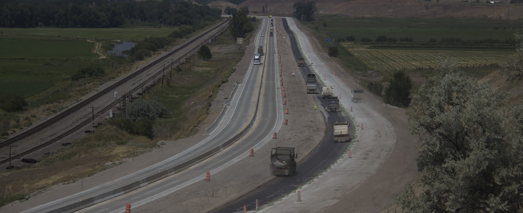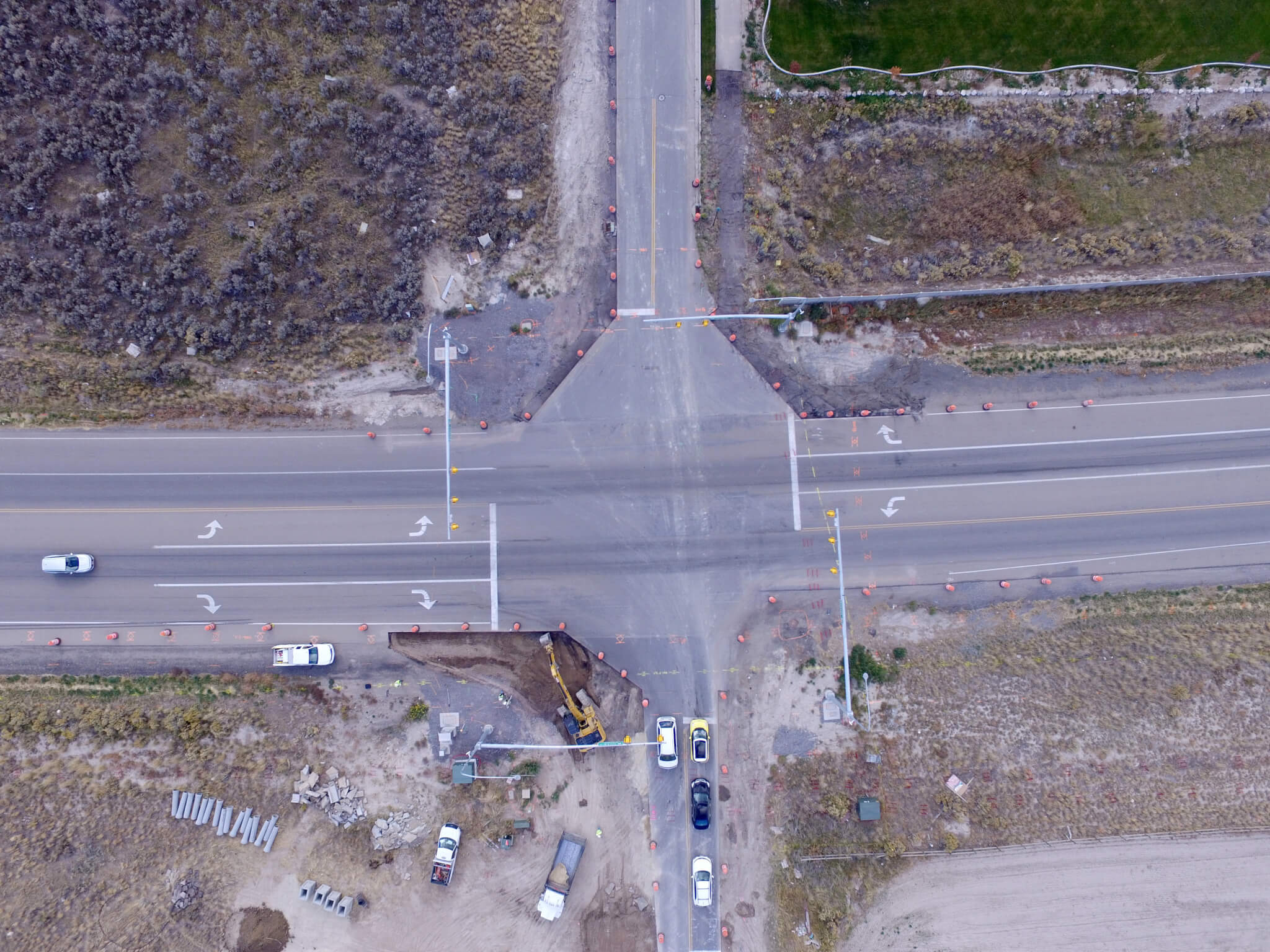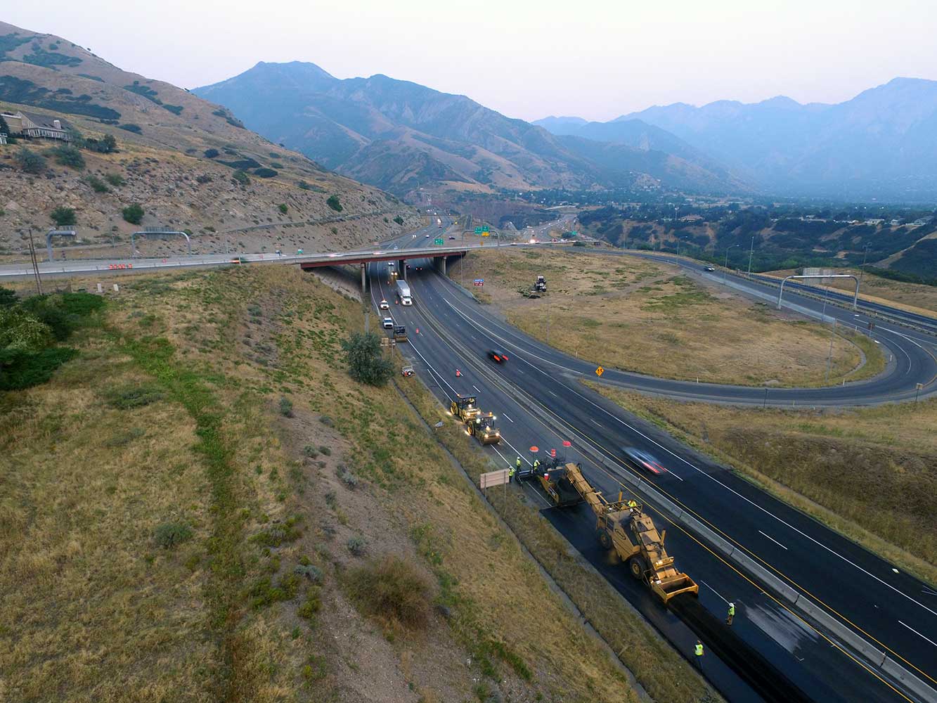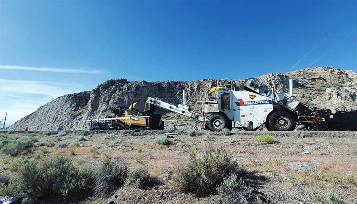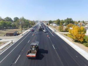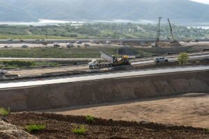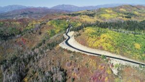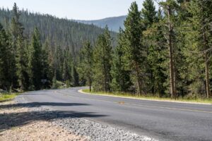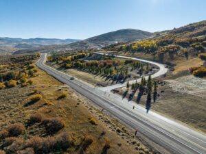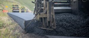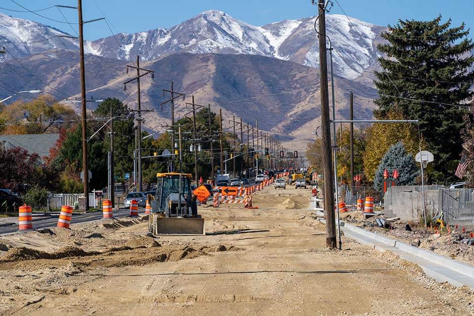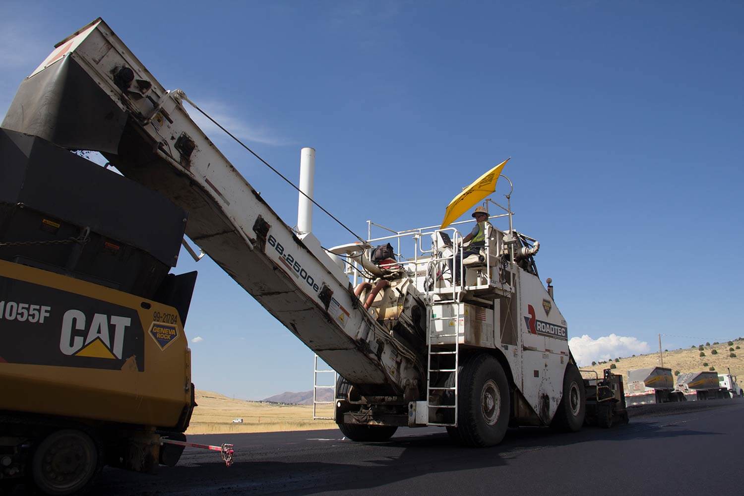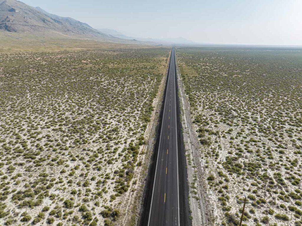
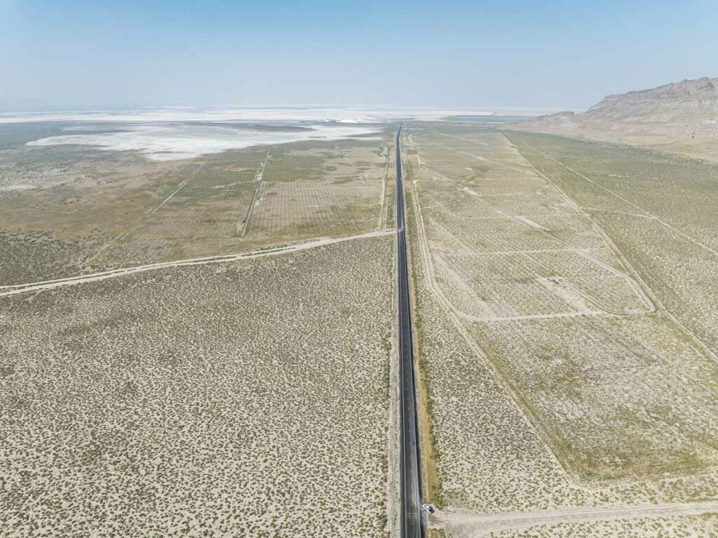
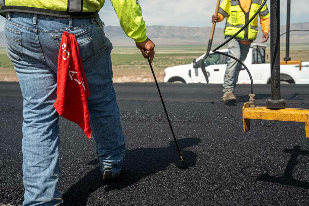
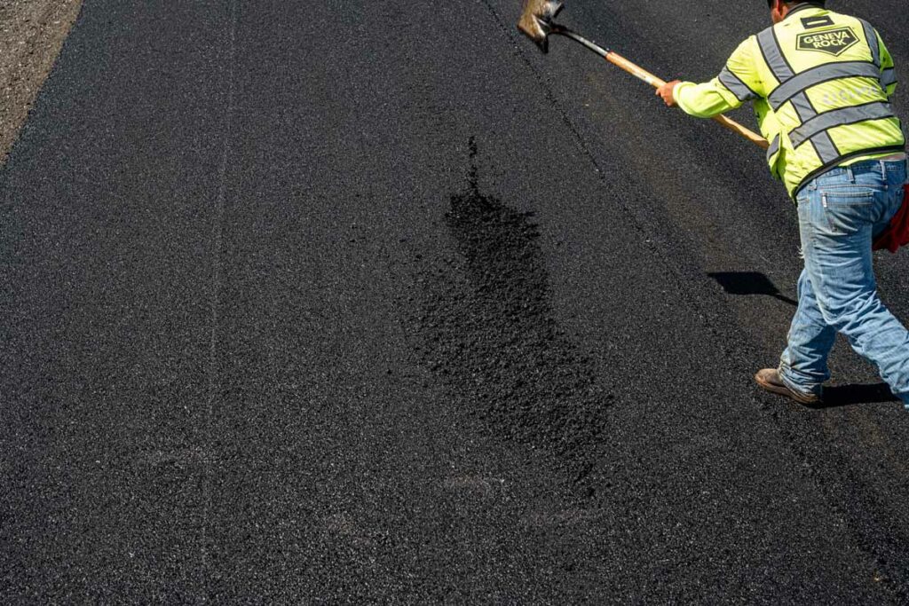
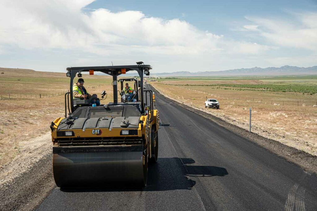
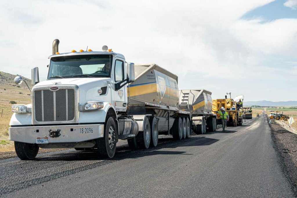
This was a UDOT High Volume Preservation Project in Tooele County from milepost 24 to the intersection of 180 about a twenty-four-mile project that rotomilled both the northbound and southbound lanes. A new 1 1/2″ layer as asphalt was laid down in the rotomilled area with HMHMA (Highly Modified Hot Mix Asphalt). This new surface was completed well ahead of the 40-day allotted schedule being completed in 29 days. Millings from the roto milling were then used to increase roadway safety as the millings were then used to improve shouldering in both directions, increasing roadway width for the safety of the traveling public. This project also received both material and smoothness incentives from UDOT at the completion of the project.
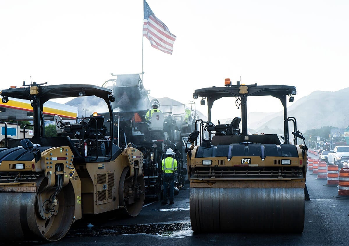
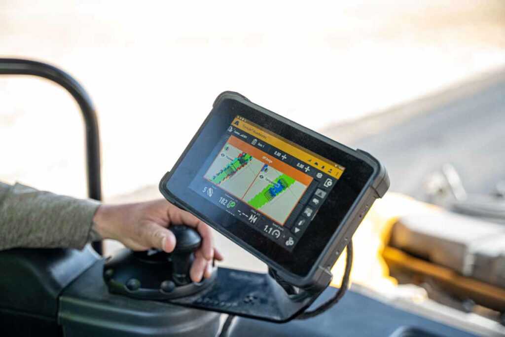
The project was one of the first in Utah to use thermal imaging to enhance the work for mapping of the Rollers on this job. One of the biggest challenges was also one of the best opportunities. This project was the first for Geneva Rock using Thermal Imaging combined with Roller
Mapping with UDOT. UDOT outlined the parameters for this technology use, along with daily interface with the on-site crews as they successfully implemented it’s use. This aided in a project that enjoyed a project completion in 29 days from the estimate of 40 days and in the achievement of smoothness incentives.
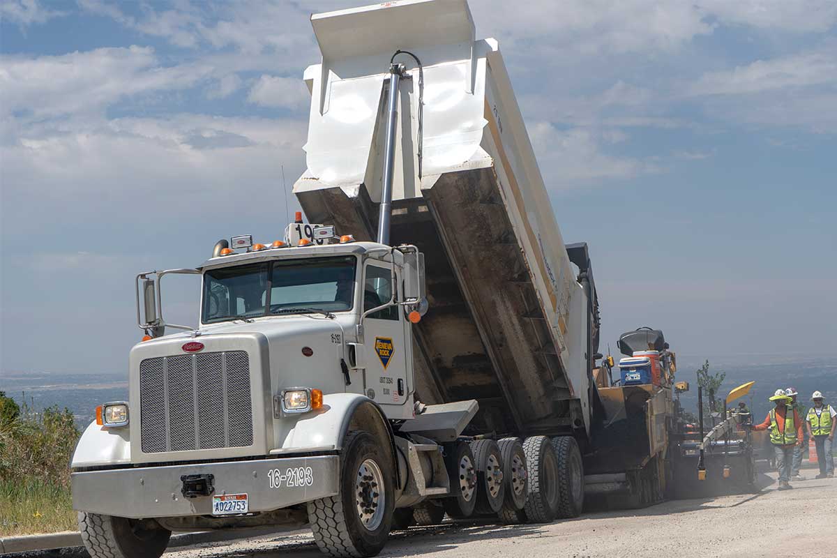
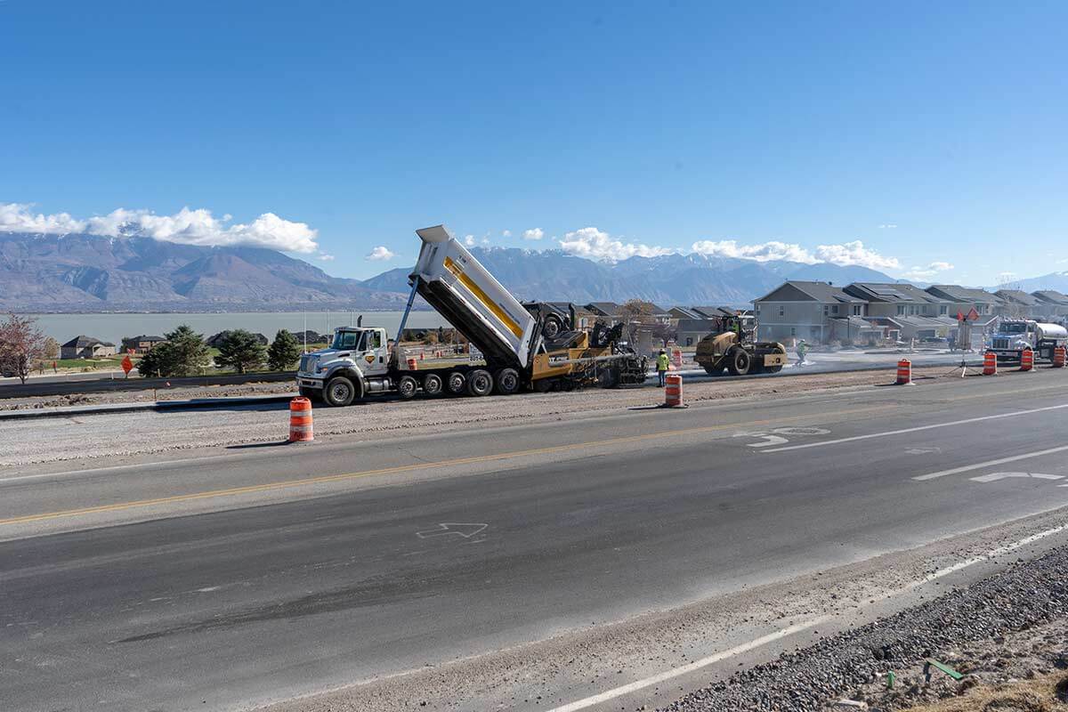
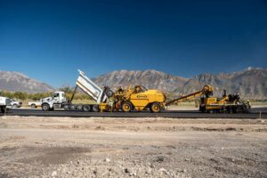
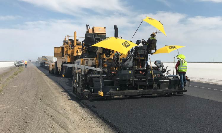
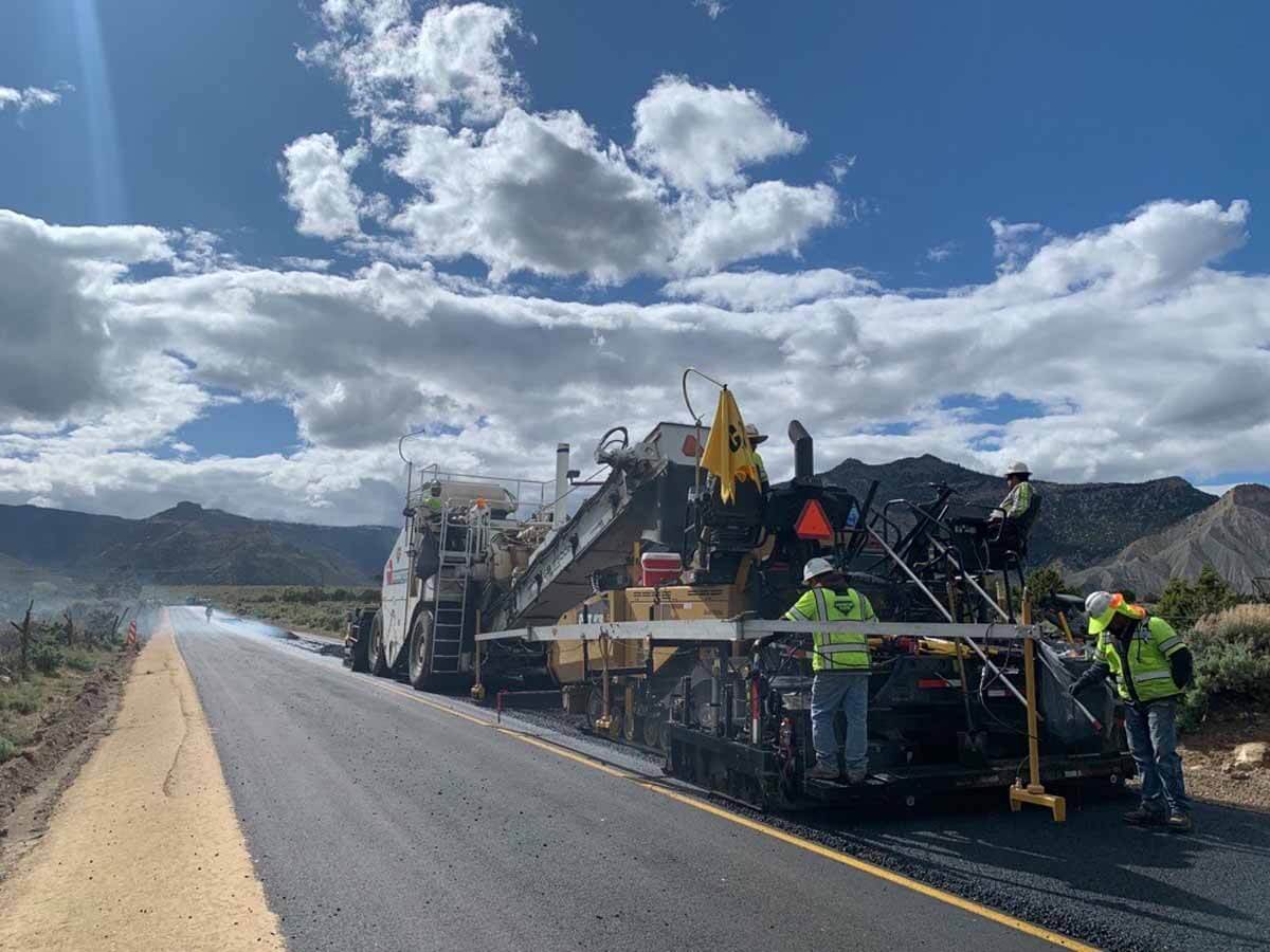
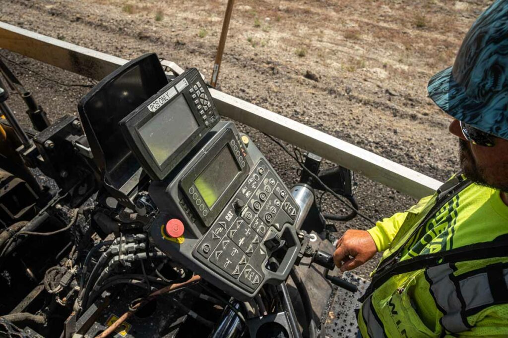
Two different and new technologies were employed during this project to enhance the ability to perform and to measure the successful completion of
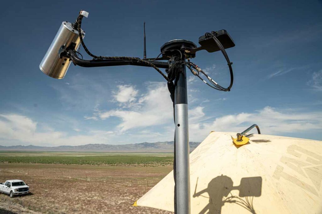
the project. UDOT and Geneva Rock partnered in the use of these two technologies for the first time in our partnership. Paver-mounted thermal profiling scanners (PMTPS) is the first facet of this intelligent Paving technology utilized. Using PMTPS a thermal “camera” is affixed to the paver to assist the paving crew in monitoring, and thus lessening the chances for, temperature segregation in the mat. Thermal mapping monitors the surface temperatures of the asphalt utilizing an infrared camera and Global Navigation Satellite System {GNSS) enabled for accuracy. Viewing real-time temperatures identifies variations which allows for action to manage the plant-to-paver delivery process and fine-tune paving practices for more uniform lay-down temperatures and the ability to share this information with our Stakeholders. This process ensures the mix being delivered from the plant to the head of material, and to the mat has a uniform temperature and consistency for top quality.
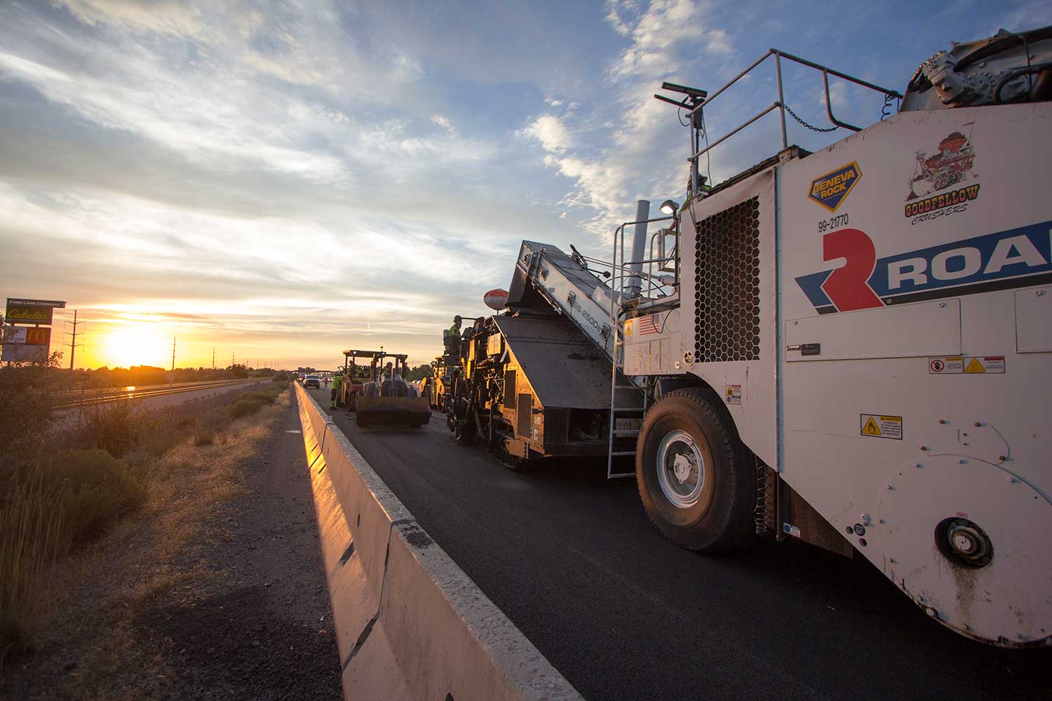
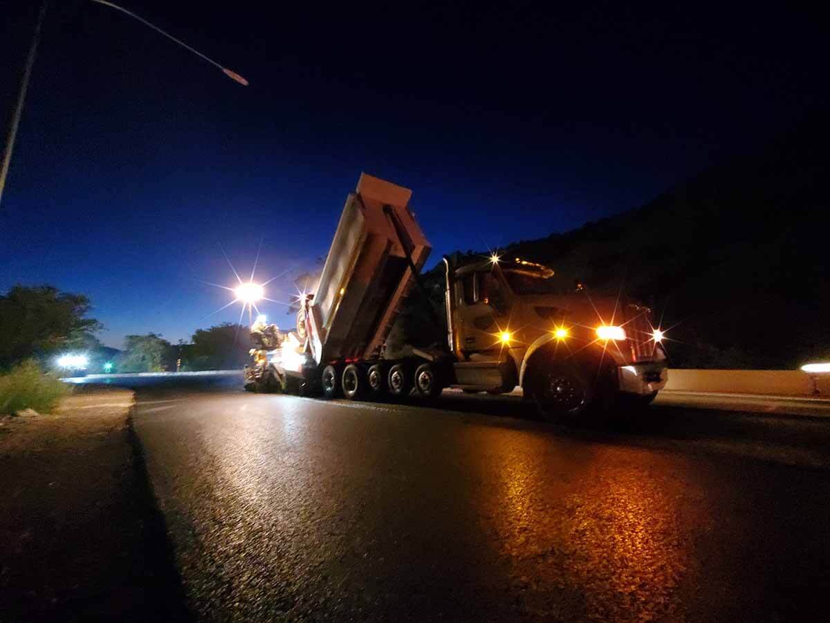
Following the Paver is the process of Rolling to successfully compact the Asphalt Mix to the proper compaction which is measured in smoothness. Using Roller Mapping technology ensures that Roller activity can be measured for complete coverage and will measure asphalt temperatures during the process. This technology allows for a digital “footprint” that assists the operator and provides the stakeholder evidence of completeness in coverage and number of passes. Rollers used on this project included an integrated onboard documentation system capable of displaying, to the roller operator, real-time color-coded maps of measurement values including roller location, number of roller passes, and pavement surface temperatures. If you want real improvements, Measure. These two technologies provided measurements to Geneva Rock crews and UDOT of real and repeatable improvements.